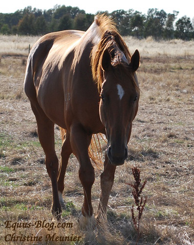
Wordless Wednesday – Walking

Your Horse Career Starts Here

Great Britain’s equestrian team are the benefactors for the 2014 Badminton Horse Trials. Currently they’re in the process of raising funds to help support the team compete at the World Equestrian Games and upcoming Olympic events.
April 1, 2014 tickets go on sale for individuals who would like to donate a small fee to be able to walk the Badminton course with equestrian celebrities.
Being able to walk the course with equestrians who have performed highly around the world would be one thing; getting to walk such a well-known course would be another for the aspiring course designer. Whatever your reason, the suggested donation of 25-30 pounds for either of the 2 events seems a worthwhile investment in one’s education.
“A horse who puts on a show in the dressage ring and strives to get through cross country and only knocks down one rail in stadium is more deserving of a break when he gets home than the horse who got first….only because he’s worked harder for that trip around the course.” – Author unknown
This week’s letter is E. If you missed last week’s Friday Feature, take a look at Dressage Competitor.

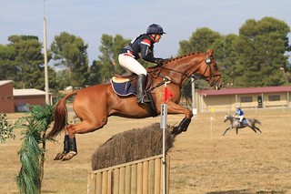
Much like last Friday’s feature, an event rider is someone who needs to be very capable on a horse. Eventing can be carried out over one day or even as a three day event.
It entails completing a dressage test, show jumping course and eventing course on the same horse over this time.
Like with dressage, for someone who is looking to compete in eventing for a living, there are a few options:
A willingness to ride any horse at the start (as a catch rider) may be what is required to gain the attention of others – as being someone who can ride anything, or as being someone who produces results with horses in the show ring. Results and sponsorship will be the main forms of income for dressage riding.
For some posts that relate to this topic on Equus-Blog, take a look at:
“There is something about jumping a horse over a fence, something that makes you feel good. Perhaps it’s the risk, the gamble. In any event it’s a thing I need.” – William Faulkner

I received a message via LinkedIn from Racing Engagements and Cup Tour Manager Joe McGrath. It was with regards to the 2014 Emirates Melbourne Cup Tour.

If you know someone who is interested in having the 2014 $175,000 Emirates Melbourne Cup come to their community please forward on this email. We do travel far and wide.
The Cup comes with Emirates Melbourne Cup Tour talent (past Cup winning trainers, jockeys and owners) and presents a unique opportunity to drive community engagement. It also presents a unique opportunity to leverage off the Emirates Melbourne Cup Tour brand and drive some much needed charitable funds for a needy cause. The Emirates Melbourne Cup Tour is a key promotional driver for the Melbourne Cup Carnival and is a most successful event. But more so, it is actually quite a lot of fun.
The 2014 Cup Tour will start in mid-July and continue through to Emirates Melbourne Cup Day (4th November).
Tenders close on Monday, 14th April. If interested take a look at http://www.melbournecuptour.com.au.
“A racehorse is an animal that can take several thousand people for a ride at the same time.” – Author unknown
You will find equine careers profiled on this blog and people interviewed who are making a career in the horse industry. Equus Education aims to show others that horses can indeed be a sustainable career.
Explore this blog to find your horse career!